Explore Marin County’s Coastal Trails: Top Routes, Practical Tips, and conservation notes
Marin County is a compact playground of dramatic coastlines, redwood groves, windswept ridgelines, and easy-access trails. Whether you’re chasing sunrise over the Pacific, a quiet redwood walk, or a scenic bike ride with views of the Golden Gate, knowing where to go and how to prepare turns a good outing into a great one.
Top routes to consider
– Muir Woods Grove: A short, mostly flat loop through old-growth redwoods.
Timed-entry reservations are required; plan ahead and arrive early to avoid crowds.
– Mount Tamalpais trails: From the East Peak overlook to the Old Railroad Grade and Matt Davis loop, the trails offer panoramic views and varied terrain for hikers and trail runners.
– Point Reyes National Seashore: Diverse options include easy beaches, coastal overlooks, and longer backcountry hikes. Parking can fill quickly, so prepare for limited lot space.
– Tennessee Valley to the beach: A family-friendly out-and-back with a gentle grade that opens onto a broad sandy beach.
– Alamere Falls (Palomarin Trail): A longer hike that culminates at a rare tidal waterfall — check tide conditions before attempting the descent to the beach.
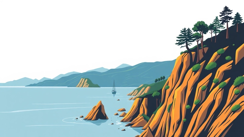
– Marin Headlands and Rodeo Beach: Famous for sweeping vistas of the bridge and coastal cliffs; excellent for photography, birdwatching, and short coastal strolls.
Practical planning tips
– Book key reservations: Popular sites use timed-entry or parking reservations. Check official park pages before you go.
– Use transit and shuttles: Golden Gate Transit, Marin Transit, and local shuttles reduce parking stress on busy weekends. Ferries to nearby cities are a scenic alternative.
– Dress in layers: Coastal fog and wind create rapid temperature swings. A windbreaker and warm layer are often needed even when inland looks sunny.
– Check tides and conditions: Some beach access routes and waterfall descents are tide-dependent. Consult reliable tide charts and current trail conditions before setting out.
– Bring essentials: Water, snack, sun protection, a compact first-aid kit, and sturdy footwear. Many trails have uneven or exposed sections.
– Respect restrictions: Dogs, bicycles, and drones are restricted on many trails and beaches. Confirm rules for the specific area you plan to visit.
Conservation and safety
Marin’s natural areas are ecologically sensitive. Practice leave-no-trace principles: pack out trash, stay on designated trails, and avoid disturbing wildlife and nesting areas.
Poison oak is common in chaparral and coastal scrub; learn to identify it and stay on clear paths. During dry seasons, be mindful of fire risk and follow local guidance about campfires, smoking, and trail closures.
Wildlife viewing opportunities are excellent but require distance and discretion.
Many coastal species are vulnerable to human disturbance, so use binoculars or telephoto lenses instead of approaching animals.
Local resources and etiquette
Official park websites and visitor centers provide the most current trail conditions, closures, and reservation details. Popular trail apps and topo maps are useful for navigation, but prioritize official sources for safety notices. Leave gates as you find them, respect private property boundaries, and be courteous to other users—yield to uphill hikers and announce your presence when passing on narrow singletrack.
With a bit of preparation and a conservation-minded attitude, Marin County’s coastal trails deliver some of the Bay Area’s most memorable outdoor experiences.
Plan ahead, tread lightly, and enjoy the range of landscapes this coastline has to offer.