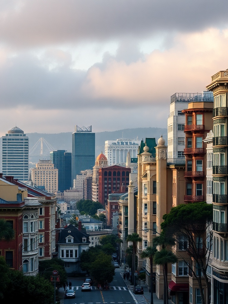
San Francisco’s waterfront is iconic — from the piers and promenades to the shipping channels and marshlands that frame the city. That same shoreline also makes the city one of the places most focused on coastal resilience and flood preparedness.
Whether you live here or plan to visit, understanding how San Francisco is adapting to rising tides and storm surges helps you navigate neighborhoods, protect property, and enjoy the waterfront with greater confidence.
Why the waterfront matters
San Francisco’s economy, culture, and daily life are tied to its shoreline. Major transit lines, parks, housing developments, and commercial corridors sit near the bay. As storms grow more intense and sea levels creep upward, low-lying areas — especially parts of the Embarcadero, Mission Bay, Islais Creek, and sections near the Port — face increased flooding risk.
That drives citywide planning that blends engineering, nature-based solutions, and community engagement.
How the city is responding
The city is pursuing a layered approach to resilience. Hard infrastructure upgrades — like raising seawalls and improving stormwater pumps — are being paired with softer strategies such as restoring wetlands, creating living shorelines, and expanding open space that can absorb floodwaters. Neighborhood-level projects aim to reduce immediate risks while longer-term strategies look to protect critical infrastructure, transit hubs, and affordable housing.
Key concepts to know
– Managed retreat and adaptation: In some areas, retreat from the most vulnerable sites is being discussed as part of a pragmatic strategy, while other locations are prioritized for protection and investment.
– Nature-based solutions: Restoring marshes and mudflats helps buffer storm surge, supports biodiversity, and improves water quality.
– Equity-focused planning: Efforts emphasize protecting communities that are historically underserved and more vulnerable to climate impacts.
What residents and visitors can do
– Know your zone: Check local flood-risk maps and property disclosures if you’re renting or buying. Awareness is the first defense.
– Prepare for short-term events: Basic preparedness — a grab-and-go kit, elevated electrical items, and emergency contacts — helps households ride out temporary flooding or service disruptions.
– Consider insurance: Flood coverage through private insurers or national programs can provide financial protection that standard homeowner policies do not.
– Use public transit smartly: Waterfront routes can be interrupted during extreme weather.
Keep alternate routes in mind and follow transit agency advisories.
– Support local projects: Community meetings and neighborhood resilience hubs offer ways to influence local plans and prioritize protections that matter to you.
Places adapting to change
Public spaces along the bay increasingly reflect resilience principles — elevated walkways, adaptable parks that can hold water temporarily, and restored tidal marshes that provide both recreation and protection. New development projects often include flood-resilient design elements and public access that balances use with safety.
Why it matters for visitors
When exploring the waterfront, be mindful that access can be temporary or rerouted during construction or storm events. Many of the city’s best waterfront experiences remain accessible and improved by resilience work — think expanded trails, enhanced viewpoints, and healthier shoreline habitats.
Staying informed
City resilience offices, local community groups, and transit agencies frequently share updates on projects, temporary closures, and preparedness resources. Staying connected helps residents and visitors make smarter choices and take advantage of new shoreline amenities as they come online.
San Francisco’s waterfront is changing, but that change is guided by thoughtful planning that balances protection, nature, and community. With a mix of infrastructure upgrades, ecological restoration, and public engagement, the city is shaping a shoreline that’s safer and more accessible for everyone.