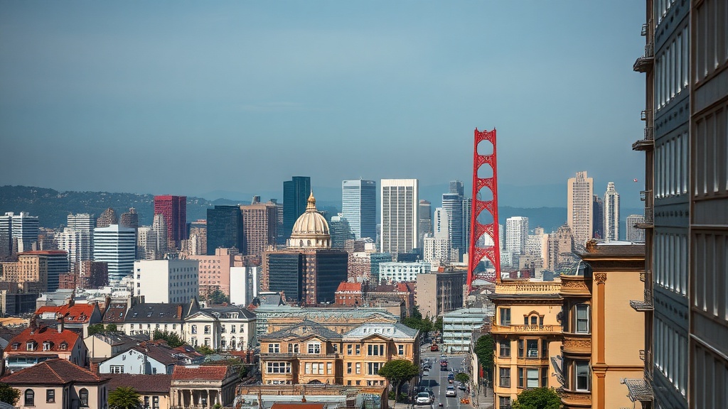
San Francisco’s waterfront is iconic — from the Ferry Building to Fisherman’s Wharf — but coastal changes are prompting a shift from postcards to planning.
Rising tides and more intense storms mean the city’s shoreline is no longer just a scenic backdrop; it’s frontline infrastructure that requires long-term investment and community readiness.
Why the waterfront is changing
Global sea levels are rising due to warming oceans and melting ice, and local factors like land subsidence and storm surge amplify impacts around the bay.
Higher high tides make low-lying areas more prone to flooding, while storm-driven waves and heavy rains combine to test bulkheads, transit tunnels, utilities and commercial districts.
Popular attractions, transit hubs and low-lying neighborhoods are among the places most sensitive to these shifts.
What the city is doing
San Francisco has turned its attention to a suite of adaptation strategies that combine engineering, nature-based design and policy. Large shoreline repair programs aim to strengthen seawalls and protect critical infrastructure.
At the same time, planners are incorporating green infrastructure — wetlands, marsh restoration, and “living shorelines” — that can absorb wave energy and provide ecological benefits. Floodable parks and elevated promenades are being considered in redevelopment projects, giving space for water to be safely accommodated without sacrificing public access.
Many agencies and community groups are collaborating to balance protection with public use, economic activity and ecological restoration.
Projects are being designed to be resilient to multiple risks at once: earthquakes, tides, and intense storms. That integrated approach helps avoid expensive retrofits later and supports a smoother transition for neighborhoods and businesses.
What residents and businesses can do
Preparedness pays off. Property owners and businesses should assess vulnerability — basement utilities, ground-floor retail and electrical panels are particularly at risk — and consider simple, cost-effective steps:
– Elevate or relocate critical equipment and utilities above expected flood levels.
– Install flood barriers or threshold seals for doors and vents.
– Use flood-resistant building materials for ground-floor renovations.
– Create a business continuity plan that identifies alternate locations, data backups and supply-chain contingencies.
– Obtain appropriate flood insurance and understand what it covers.
– Sign up for local emergency alerts and know evacuation routes.
Neighborhood-level actions matter too. Supporting wetland restoration, street-level green infrastructure, and neighborhood flood-response plans helps reduce risk across the community.
Opportunities in adaptation
Adapting the waterfront also creates opportunities: new public spaces that accommodate occasional flooding, green jobs in restoration and construction, and improved urban habitats that attract wildlife. Thoughtful design can preserve the city’s character while making it safer and more accessible year-round. Projects that combine recreation, transportation and resilience — for example, multi-use promenades that double as flood barriers — illustrate how adaptation can enhance quality of life rather than detract from it.
How to stay informed and get involved
Keep an eye on updates from city agencies such as the Port authority, Public Utilities Commission and planning departments, which often publish interactive maps, project timelines and community meeting schedules. Local neighborhood groups and environmental nonprofits also host workshops on preparedness and restoration that are useful for homeowners and small-business owners.
Adapting San Francisco’s shoreline is a long-term effort that requires technical solutions, public support and community participation. By preparing at the individual level and engaging in local planning processes, residents and businesses can help shape a waterfront that remains vital, accessible and resilient for generations to come.