Mount Tamalpais and Marin’s outdoor pulse: trails, tips, and stewardship
Mount Tamalpais is the heart of Marin County’s outdoor culture — a compact wilderness offering redwood groves, ridgeline panoramas, coastal fog, and an unusually high density of accessible trails. Whether you want a short viewpoint stroll or a multi-mile ridge run, Mount Tam and the surrounding open space deliver scenery and a restorative dose of fresh air.
Why people come
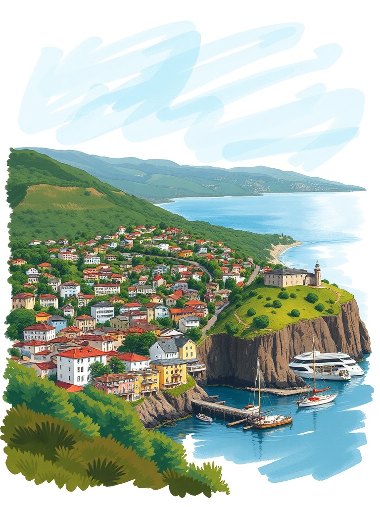
From the East Peak overlook you can see a sweep of the Bay Area skyline, the Marin Headlands, and on clear days the Pacific horizon. The mountain’s varied ecosystems — oak woodlands, Douglas-fir and old-growth redwoods, and coastal scrub — create quick climate shifts: fog and cool air near the coast, sun and warm slopes inland. That variety makes it a favorite for hikers, trail runners, photographers, and mountain bikers.
Top trail experiences
– Dipsea Trail: A classic route linking Mill Valley and Stinson Beach. Famous for its stairs, champagne vistas, and an iconic trail race, it’s steep in parts but immensely rewarding.
– Steep Ravine + Matt Davis loop: Combines mossy canyons, redwood groves, and coastal bluffs. Great for photographers and hikers who want quiet singletrack.
– East Peak and Old Railroad Grade: Gentle grades and panoramic views make this route popular for families and casual visitors.
– Panoramic Ridge runs: For runners and adventurous hikers, cresting the ridgeline delivers high exposure and long-distance views.
Practical tips for a better visit
– Start early: Parking fills up fast at popular trailheads. Early arrival avoids crowds and gives you cooler temperatures for strenuous sections.
– Layer your clothing: Coastal fog can be chilly and dissipate quickly; breathable layers are essential.
– Carry water and snacks: Some routes are exposed with little shade.
Hydration and energy are must-haves.
– Respect rules and pets: Many trails allow dogs on leash, but restrictions vary; check local signage before you go.
– Use transit and carpool: Park space is limited; public transit, bike access, and ride shares cut stress and reduce impacts.
Trail etiquette and safety
Stay on designated trails to protect fragile habitats and prevent erosion. Yield appropriately: hikers yield to uphill traffic, mountain bikers yield to hikers, and pass singletrack slowly.
Be aware of wildfire restrictions and temporary closures — authorities may limit access during high-risk conditions.
Conservation and community stewardship
Marin’s parks and open-space agencies work with volunteers on native-plant restoration, invasive species removal, and trail maintenance. Volunteer trail days and community stewardship programs are regular features; participating helps preserve these landscapes for future visitors. Practicing Leave No Trace principles — packing out trash, minimizing campfires, and respecting wildlife — supports long-term access and biodiversity.
Nearby opportunities
Beyond Mount Tam, Marin offers coastal access at Point Reyes, historic Bay shoreline at China Camp, and quieter ridgelines in the county’s interior.
Each area has its own access rules and seasonal considerations, so planning ahead pays off.
Whether you’re after a sunrise ridge run, a family-friendly nature walk, or serious backcountry solitude, Mount Tamalpais and Marin’s open spaces provide reliable outdoor rewards. Check park resources before you go, travel thoughtfully, and enjoy one of the region’s richest outdoor playgrounds.